-
WALKING TRAIL MAP
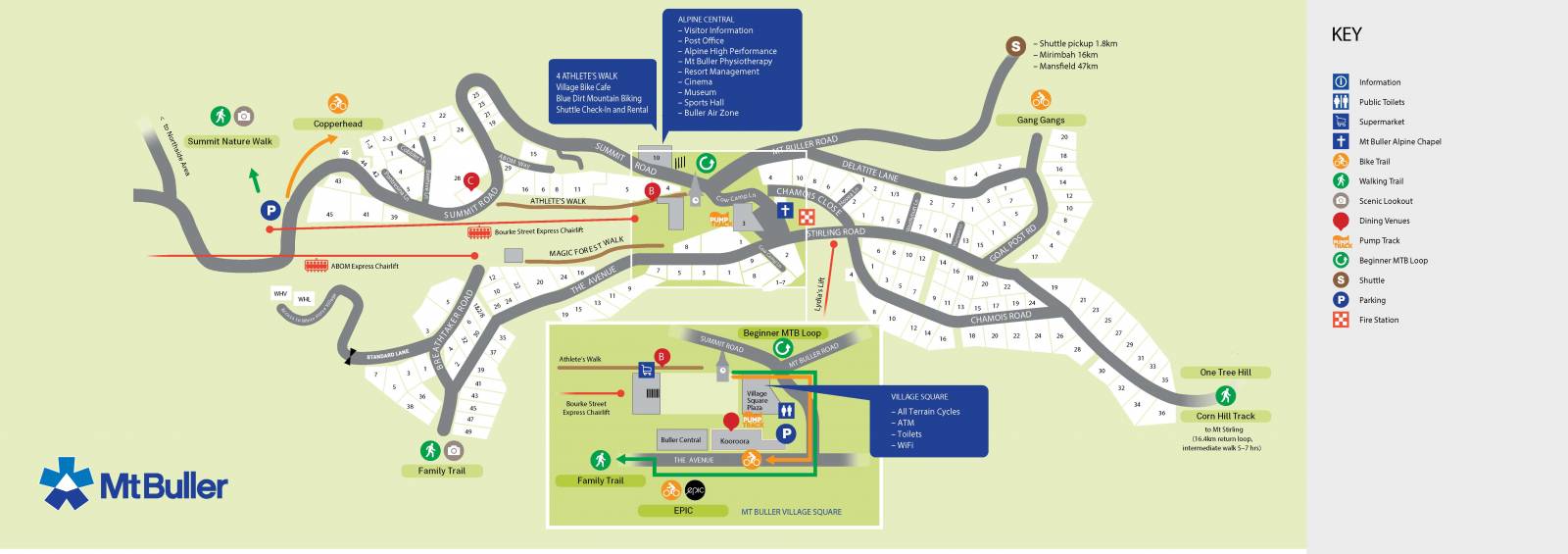
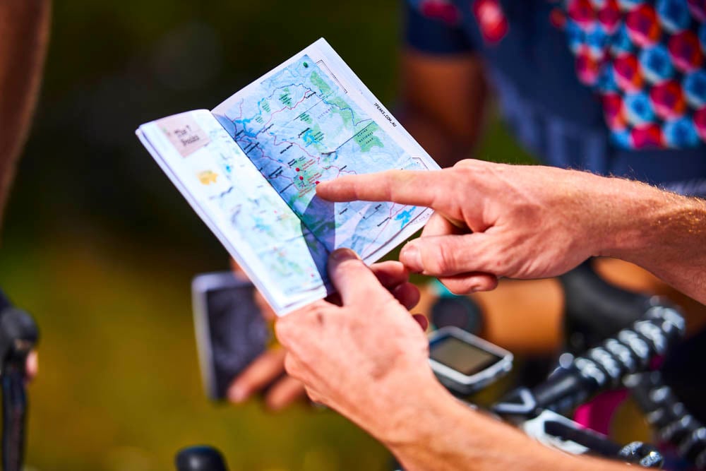
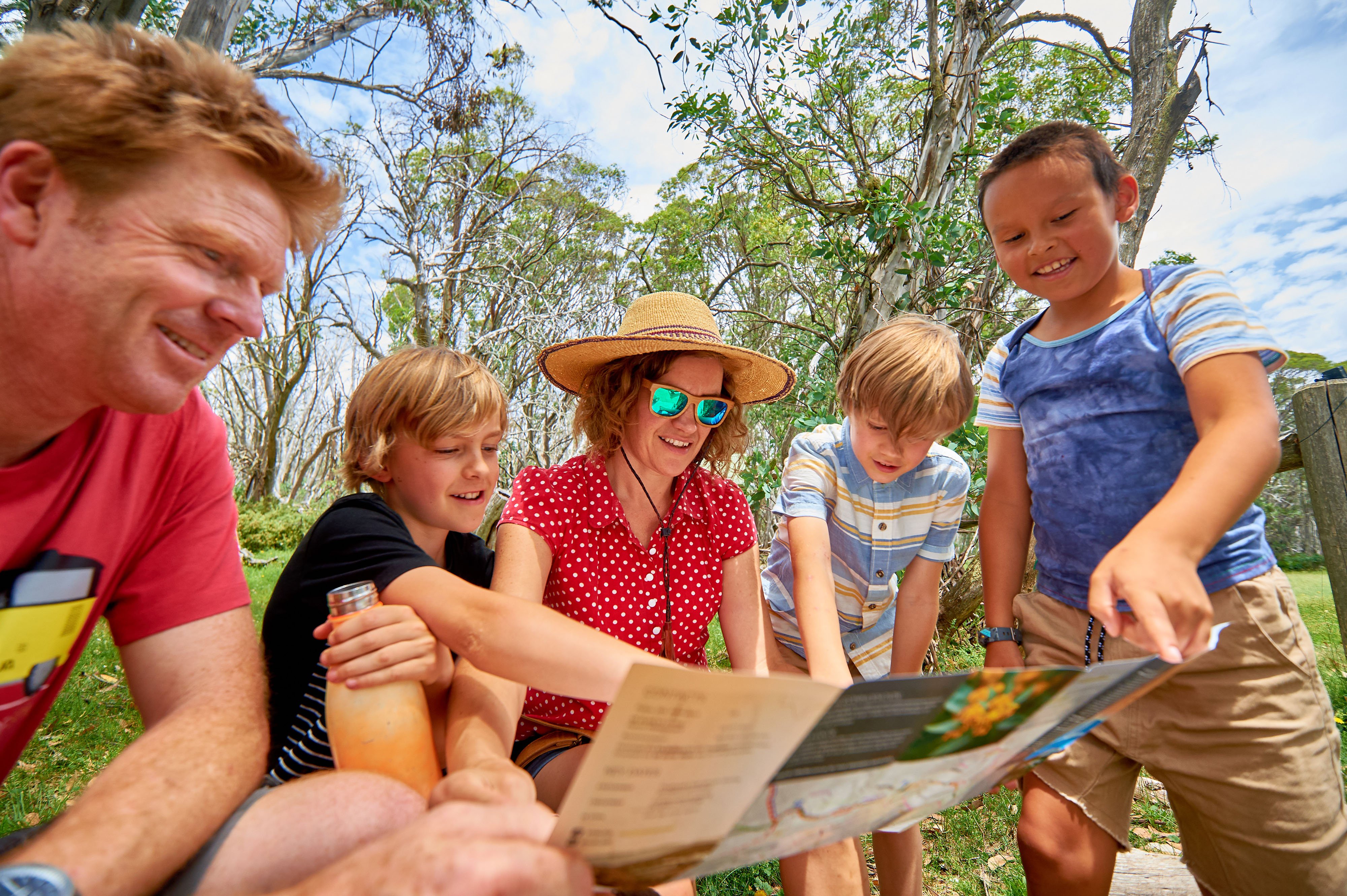
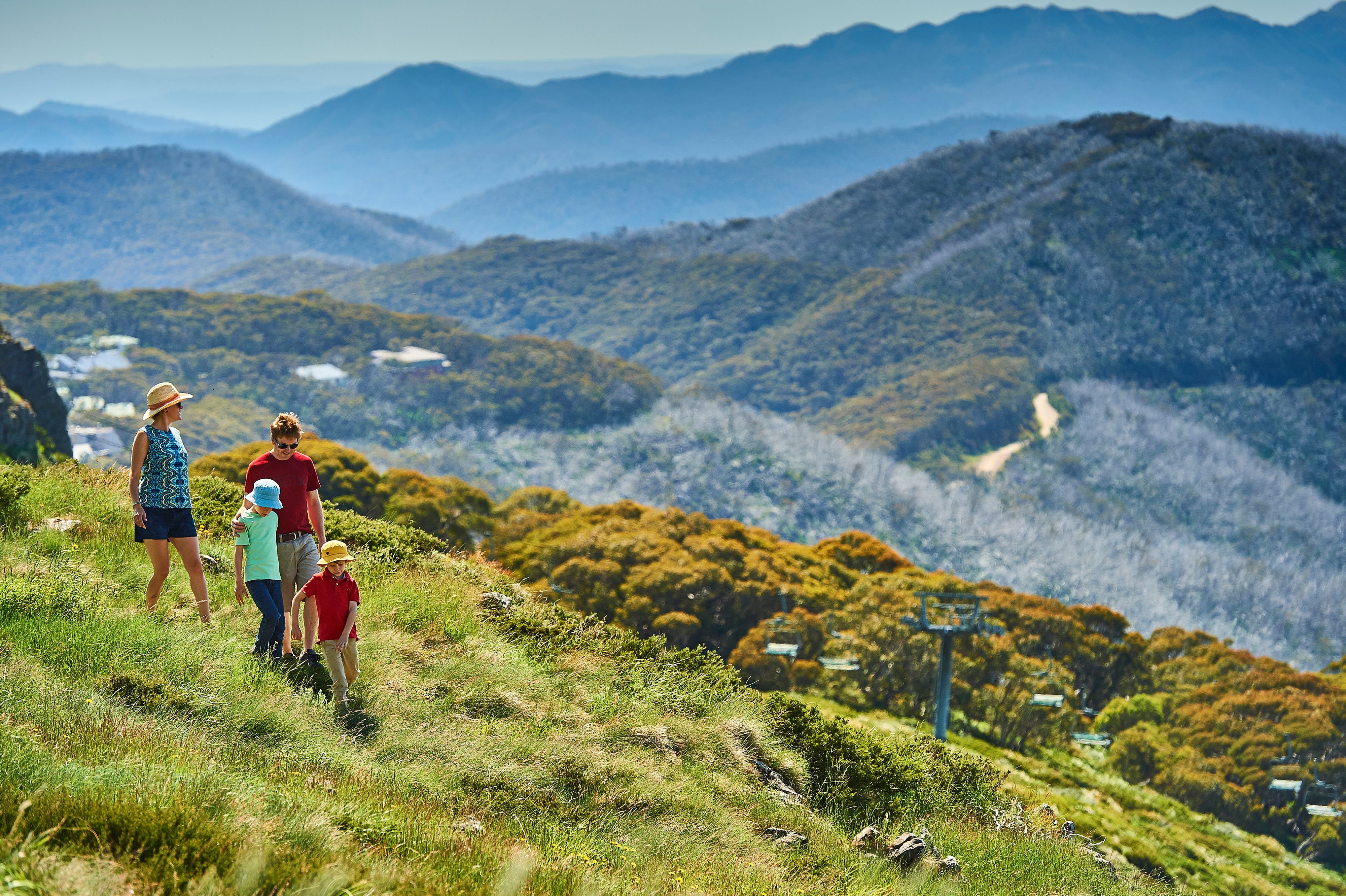
Download the summer walking trail map and explore the resort on foot! Trails are suitable for all levels, from easy to difficult.
Download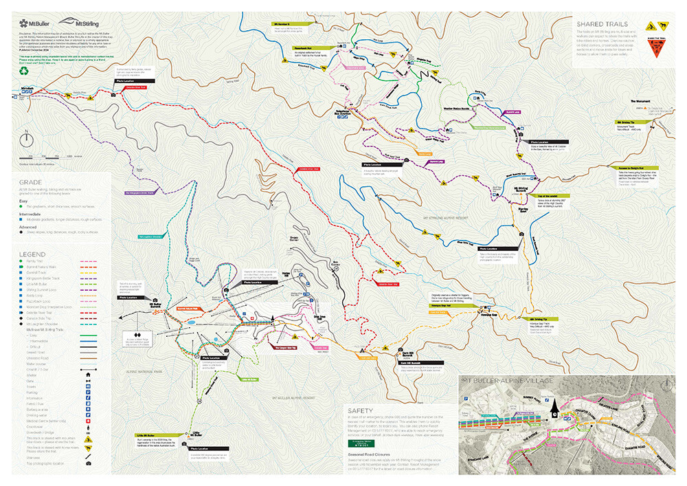
-
RIDE TRAIL MAP
Mt Buller & Mt Stirling has a comprehensive network of cross-country and gravity mountain bike trails to explore, suitable for riders of levels.
Download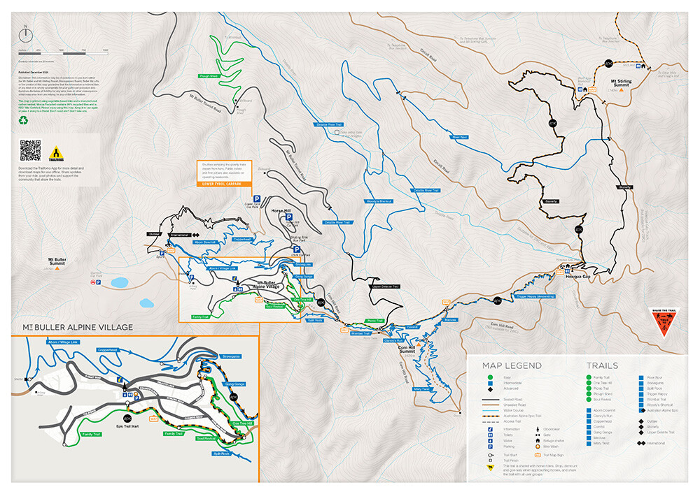
-
-
AUSTRALIAN ALPINE EPIC
One of only a handful of IMBA Epic accredited trails in the world, the Australian Alpine Epic is a unique, tough and exhilarating journey.
Download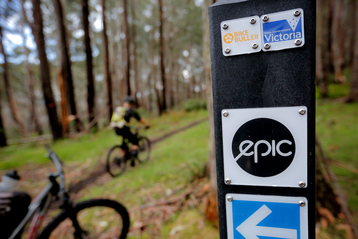
TRAILS
All trailsWalking Trails
| Status | Name | Skill Level | Conditions | Length | Type |
|---|---|---|---|---|---|
| Open | Summit Nature Walk | Beginner | Good | 4.1km return | Contouring |
| Open | Family Trail | Beginner | Very Good | 3.1km return | Contouring |
| Open | The Canyon Side Trip | Advanced | Good | 250m | Contouring |
| Open | Little Mt Buller | Intermediate | Good | 5.7km return | Contouring |
| Open | Klingsporn Bridle Track | Advanced | Good | 6.7km one way | Contouring |
| Open | Delatite River Trail | Intermediate | Good | 8.7km one way | Contouring |
| Open | Mt Stirling Summit Loop | Intermediate | Good | 16.0km | Contouring |
| Open | Corn Hill Track to Mt Stirling | Intermediate | Good | 16.4km return | Contouring |
| Open | Woollybutt Loop | Intermediate | Good | 5km | Contouring |
| Open | Wombat Drop Interpretive Loop | Intermediate | Good | 4.4km | Contouring |
| Open | Summit Interpretive Loop | Intermediate | Good | 12.3km | Contouring |
| Closed | Bindaree Falls | Beginner | Good | 5km | Contouring |
| Open | Mt Stirling - Craig's Hut | Beginner | Good | 3.5km | Contouring |
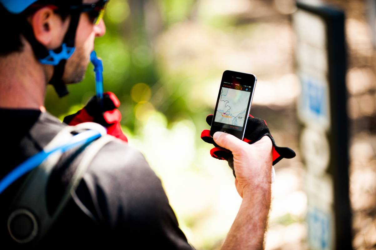
Did you know the Mt Buller Live App is your unique and comprehensive all-season guide to Mt Buller, all at your fingertips?
Or download the Mt Buller Walks App and take an informative guided tour of Mt Buller's iconic walks.

.jpg?width=1620&height=1080&name=Mind%20Body%20Bike%202022%20(74).jpg)
.jpg?width=5472&height=3648&name=Walking%20Buller%20(11).jpg)
.jpg?width=5000&height=3333&name=Summer%20Opening%20Weekend%202021_22%20(34).jpg)


